Integrative Geospatial Visualization for Urban Mobility Analysis
Jun 26, 2024·,,, ,·
0 min read
Youngjun Park
Sumin Han
Doyoon Park
Hyungchan Bae
Thanh-Tung Nguyen
Dongman Lee

Abstract
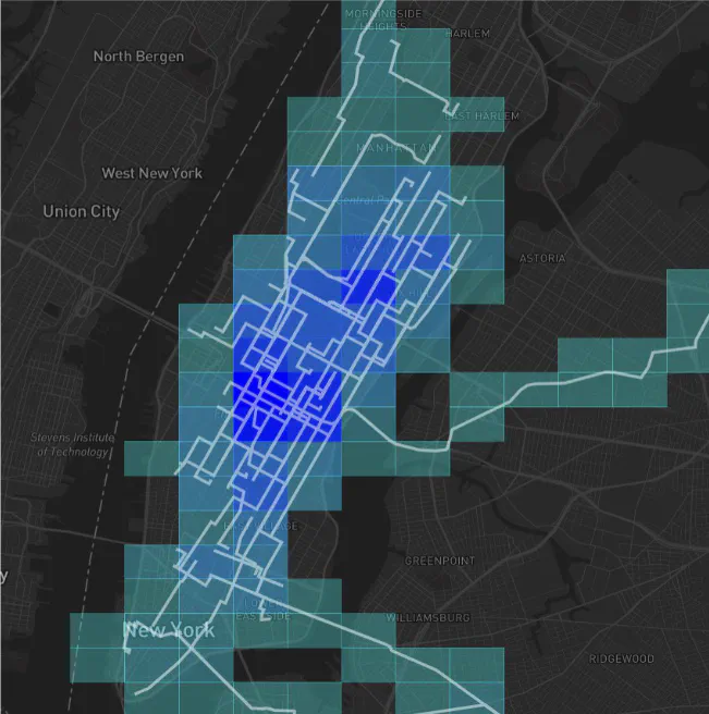
This study introduces a visualization tool that integrates dynamic urban mobility data with static geographic and demographic datasets to enhance urban analysis. Employing GeoHash-based techniques, the tool facilitates the exploration and understanding of complex urban patterns in a multifaceted way. It leverages real-time and historical data from sources such as the New York Taxi Origin-Destination dataset and US Census information, enabling users to visualize and interpret urban mobility with unprecedented granularity and precision. By providing a dynamic, interactive platform, the tool not only supports urban planners in making informed decisions but also contributes to the broader field of smart city initiatives, fostering more sustainable and efficient urban environments. This paper details the tool’s development, showcases its practical applications through use cases, and discusses its potential for future integration with advanced analytical models
Type
Publication
In 2024 Korea Computer Congress (KCC 2024)